General Discussion
Related: Editorials & Other Articles, Issue Forums, Alliance Forums, Region ForumsThe experts are saying this will be Debby by the end of next week
Too early to know its intended path - just keep an eye on developments
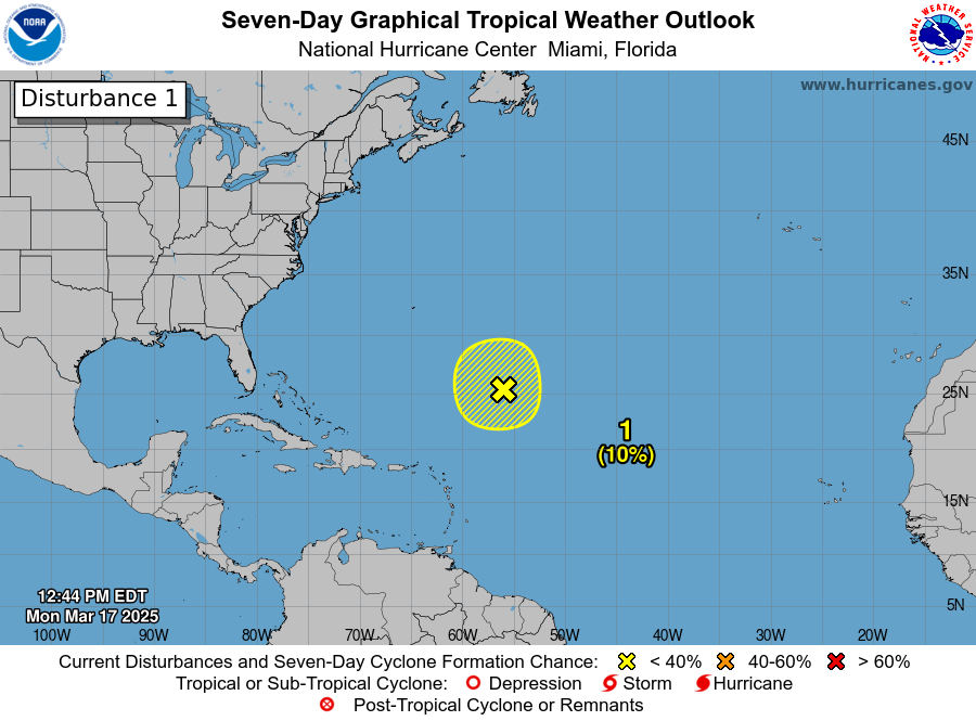
https://www.nhc.noaa.gov/gtwo.php?basin=atlc&fdays=2
For the North Atlantic...Caribbean Sea and the Gulf of Mexico:
1. Near the Lesser and Greater Antilles:
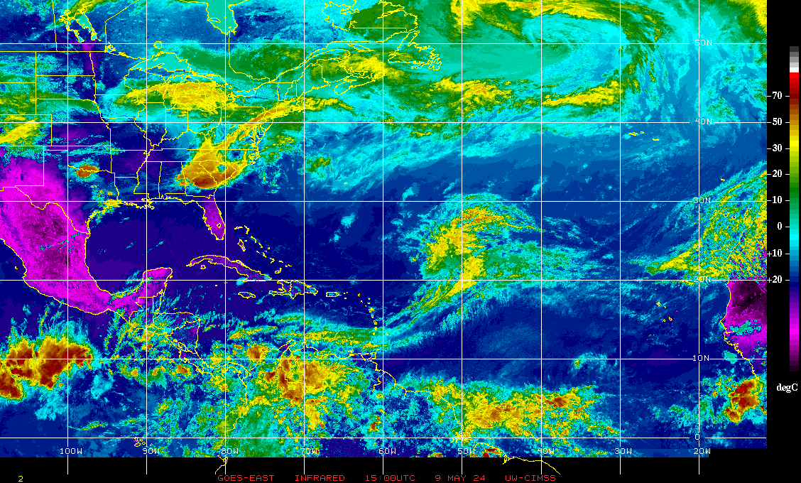
An area of disturbed weather over the central tropical Atlantic
Ocean is expected to interact with an approaching tropical wave
during the next several days. Some development of this system is
possible while it approaches the Lesser Antilles during the early
to middle part of next week and moves generally west-northwestward
near the Greater Antilles towards the latter part of next week.
* Formation chance through 48 hours...low...near 0 percent.
* Formation chance through 7 days...low...20 percent.
rampartc
(5,835 posts)has allowed my attention to wander.
sahara dust. if we could only put a giant solar powered fan at timbucktu to keep that dust blowing.
malaise
(274,655 posts)😀
duncang
(2,649 posts)Is due to the Saharan dust still coming out of Africa and the upper atmosphere winds.
malaise
(274,655 posts)By Wednesday or Thursday we’ll see high chance. Lots of factors will come into play - many way beyond my pay grade😀
malaise
(274,655 posts)For the North Atlantic...Caribbean Sea and the Gulf of Mexico:
1. Near the Lesser and Greater Antilles:
An area of disturbed weather over the central tropical Atlantic
Ocean is expected to interact with an approaching tropical wave
during the next several days. Development of this system is possible
while it approaches the Lesser Antilles during the early to middle
part of next week and moves generally west-northwestward near or
over the Greater Antilles towards the latter part of next week.
* Formation chance through 48 hours...low...near 0 percent.
* Formation chance through 7 days...low...30 percent.
———-
Too early to know where this ends up but looks like some countries/islands will be hit
————-
Notice now 30% chance of formation in a week up from 20%
Rubyshoo
(1,959 posts)wordstroken
(541 posts)Eyes on it.
![]()
malaise
(274,655 posts)Thanks, malaise. ![]()
malaise
(274,655 posts)Tropical Weather Outlook
NWS National Hurricane Center Miami FL
200 AM EDT Sun Jul 28 2024
For the North Atlantic...Caribbean Sea and the Gulf of Mexico:
1. Near the Lesser and Greater Antilles:
An area of disturbed weather over the central tropical Atlantic
Ocean is expected to interact with an approaching tropical wave
during the next several days. Environmental conditions are forecast
to become conducive for some development in a day or two, and a
tropical depression could form around midweek while the system is
near or over the northern Leeward Islands, Greater Antilles or
southwestern Atlantic Ocean.
* Formation chance through 48 hours...low...near 0 percent.
* Formation chance through 7 days...medium...40 percent.
wordstroken
(541 posts)Need to watch this one closely.
malaise
(274,655 posts)This looks like another fast developing hurricane

wordstroken
(541 posts)praying that it touches down on 17 acres in Palm Beach, renders dozens of black sharpies forever unusable, bounces back into the Atlantic, heads ENE, and is never heard from again. 🌀

