Welcome to DU!
The truly grassroots left-of-center political community where regular people, not algorithms, drive the discussions and set the standards.
Join the community:
Create a free account
Support DU (and get rid of ads!):
Become a Star Member
Latest Breaking News
Editorials & Other Articles
General Discussion
The DU Lounge
All Forums
Issue Forums
Culture Forums
Alliance Forums
Region Forums
Support Forums
Help & Search
General Discussion
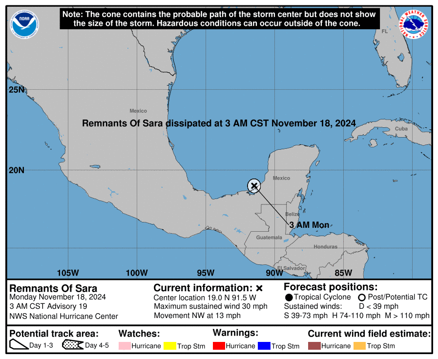
Related: Editorials & Other Articles, Issue Forums, Alliance Forums, Region ForumsPOTENTIAL TROPICAL CYCLONE NINETEEN
https://www.nhc.noaa.gov/refresh/graphics_at4+shtml/205755.shtml?cone#contents
Add
InfoView thread info, including edit history
TrashPut this thread in your Trash Can (My DU » Trash Can)
BookmarkAdd this thread to your Bookmarks (My DU » Bookmarks)
9 replies, 334 views
ShareGet links to this post and/or share on social media
AlertAlert this post for a rule violation
PowersThere are no powers you can use on this post
EditCannot edit other people's posts
ReplyReply to this post
EditCannot edit other people's posts
Rec (6)
ReplyReply to this post
9 replies
 = new reply since forum marked as read
Highlight:
NoneDon't highlight anything
5 newestHighlight 5 most recent replies
POTENTIAL TROPICAL CYCLONE NINETEEN (Original Post)
malaise
Nov 13
OP
surfered
(3,077 posts)1. It's November!!!
https://www.tropicaltidbits.com/storminfo/#99L
https://yaleclimateconnections.org/2024/11/rafael-one-of-just-three-cat2-november-hurricanes-in-the-gulf-of-mexico/
Rafael one of just three Cat2+ November hurricanes in the Gulf of Mexico
After blasting across western Cuba as a Cat 3, Rafael emerged into the Gulf of Mexico as a rare November Cat 2.
And here comes Sara
Sara looks like Belize and Honduras
https://www.accuweather.com/en/hurricane/the-most-notorious-november-atlantic-hurricanes/602213
surfered
(3,077 posts)3. With remnants possibly making it to.......Florida
Dem4life1234
(1,521 posts)4. Of course
nitpicked
(792 posts)5. One latest set of models
https://flhurricane.com/clarkmodelanimator.php?year=2024&storm=19
If it doesn't get chewed up by Honduras, by Monday it may hit the Yucatan or just south.
From there, some surviving tracks turn towards Cuba, others head for Florida.
Again, tune back in on Sunday.
If it doesn't get chewed up by Honduras, by Monday it may hit the Yucatan or just south.
From there, some surviving tracks turn towards Cuba, others head for Florida.
Again, tune back in on Sunday.
onenote
(44,620 posts)6. In a few weeks, we're heading back to the Caribbean for the holidays
Sure hope this shit has ended by then.
This will be mostly rain for your spot and mine.
Still we don’t need one more effin drop of rain.
Honduras and Belize are in for serious flooding and land slides😀
Enjoy your holiday
nitpicked
(792 posts)8. 7 pm advisory text snips
https://www.nhc.noaa.gov/archive/2024/al19/al192024.public_a.001.shtml?
Potential Tropical Cyclone Nineteen Intermediate Advisory Number 1A
NWS National Hurricane Center Miami FL AL192024
700 PM EST Wed Nov 13 2024
...LIFE-THREATENING FLASH FLOODING EXPECTED IN HONDURAS LATER THIS
WEEK AND OVER THE WEEKEND...
SUMMARY OF 700 PM EST...0000 UTC...INFORMATION
----------------------------------------------
LOCATION...16.1N 79.5W
ABOUT 260 MI...415 KM ENE OF CABO GRACIAS A DIOS ON NIC/HON BORDER
ABOUT 425 MI...685 KM E OF ISLA GUANAJA HONDURAS
MAXIMUM SUSTAINED WINDS...30 MPH...45 KM/H
PRESENT MOVEMENT...W OR 270 DEGREES AT 6 MPH...9 KM/H
MINIMUM CENTRAL PRESSURE...1005 MB...29.68 INCHES
WATCHES AND WARNINGS
--------------------
CHANGES WITH THIS ADVISORY:
None
SUMMARY OF WATCHES AND WARNINGS IN EFFECT:
A Hurricane Watch is in effect for...
* Punta Castilla to the Honduras/Nicaragua Border
A Tropical Storm Watch is in effect for...
* Honduras/Nicaragua Border to Puerto Cabezas
(snip)
At 700 PM EST (0000 UTC), the disturbance was centered near latitude
16.1 North, longitude 79.5 West. The system is moving toward the
west near 6 mph (9 km/h). A slow westward motion should continue
for another day or two, taking the system across the western
Caribbean Sea. The disturbance is expected to stall and meander
near the north coast of Honduras late Friday and through the
weekend.
Maximum sustained winds are near 30 mph (45 km/h) with higher
gusts. The system is forecast to become a tropical storm on
Thursday and continue strengthening, if it remains over water.
* Formation chance through 48 hours...high...90 percent.
* Formation chance through 7 days...high...90 percent.
(snip)