Welcome to DU!
The truly grassroots left-of-center political community where regular people, not algorithms, drive the discussions and set the standards.
Join the community:
Create a free account
Support DU (and get rid of ads!):
Become a Star Member
Latest Breaking News
Editorials & Other Articles
General Discussion
The DU Lounge
All Forums
Issue Forums
Culture Forums
Alliance Forums
Region Forums
Support Forums
Help & Search
General Discussion
Related: Editorials & Other Articles, Issue Forums, Alliance Forums, Region Forums
InfoView thread info, including edit history
TrashPut this thread in your Trash Can (My DU » Trash Can)
BookmarkAdd this thread to your Bookmarks (My DU » Bookmarks)
11 replies, 534 views
ShareGet links to this post and/or share on social media
AlertAlert this post for a rule violation
PowersThere are no powers you can use on this post
EditCannot edit other people's posts
ReplyReply to this post
EditCannot edit other people's posts
Rec (12)
ReplyReply to this post
11 replies
 = new reply since forum marked as read
Highlight:
NoneDon't highlight anything
5 newestHighlight 5 most recent replies
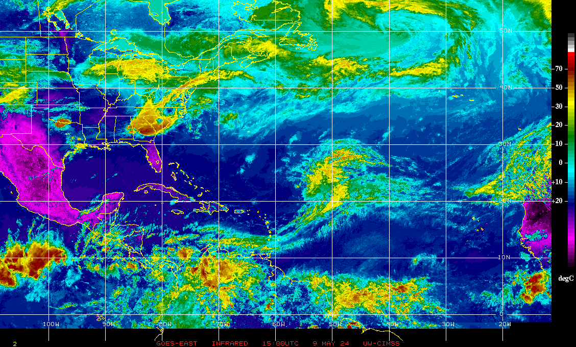
It's now Tropical Storm Sara (Original Post)
malaise
Thursday
OP
Omnipresent
(6,342 posts)1. That's ok.
All it’s going to hit is a couple red states. ![]()
Elessar Zappa
(15,888 posts)2. Lots of good people in red states, including many DUers.
Omnipresent
(6,342 posts)4. I don't wish them the worst...
I’m just not loving red states for some strange reason.
malaise
(278,051 posts)3. Not funny
That is all
Omnipresent
(6,342 posts)5. I know it's not fummy!
malaise
(278,051 posts)6. Typo n/t
Butterflylady
(3,983 posts)7. I've asked why these disasters
Always hit red states mostly? ![]()
![]()
retread
(3,823 posts)11. Which disasters?
nitpicked
(792 posts)8. 4 pm NHC discussion (bolding mine)
https://www.nhc.noaa.gov/text/refresh/MIATCDAT4+shtml/142044.shtml
Tropical Storm Sara Discussion Number 5
NWS National Hurricane Center Miami FL AL192024
400 PM EST Thu Nov 14 2024
Convective banding associated with the cyclone continued to improve
especially over the western semicircle of the system after the
release of the 1500 UTC advisory. A couple of Air Force Reserve
reconnaissance aircraft that have flew through the system early
this afternoon reported dropsonde data that supported a minimum
pressure of 998 mb and peak 850-mb flight-level winds of 42 kt.
These data supported the upgrade of the system to Tropical Storm
Sara on the 1800 UTC intermediate advisory. The latest Dvorak
satellite intensity estimates from both SAB and TAFB also support
35 kt, therefore the initial intensity for this advisory is at that
value.
The forward speed of Sara is beginning to decrease as expected.
The cyclone is now moving westward or 270 degrees at 9 kt. Sara
should continue to move westward during the next couple of days to
the south of a strong mid-level ridge, however a continued
deceleration of Sara's forward speed is expected. By Sunday, the
center of the ridge is forecast to move eastward over Florida which
should cause Sara to turn west-northwestward when it approaches
Belize and the southern portion of the Yucatan Peninsula. Most of
the track guidance has nudged northward this cycle, and the NHC
forecast has been adjusted accordingly. The new track continues to
be along or just north of the coast of northern Honduras and it is
in good agreement with the latest consensus aids.
Environmental conditions are conducive for some strengthening
during the next couple of days, but the main inhibiting factor is
the sprawling structure of the cyclone and its close proximity to
land. Given that the system is forecast to pass very close to the
northern coast of Honduras, only modest strengthening is suggested
by most of the guidance. The NHC intensity forecast calls for some
strengthening during the next couple of days, follow by little
change in intensity until the system moves over the Yucatan
peninsula. It should be noted that a more northern track, could
result in additional strengthening, but the global models and most
of the intensity guidance does not favor that scenario. The global
models indicate that the system will weakening quickly while it
moves over the Yucatan peninsula and that the circulation is not
likely to survive the passage over the peninsula. Therefore, the
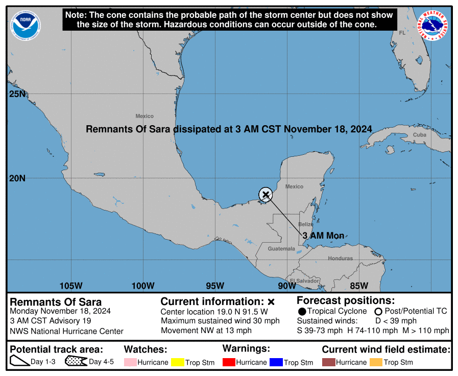
new forecast now calls for dissipation by day 5.
(snip)
malaise
(278,051 posts)9. System has grown in width big time

Emile
(29,785 posts)10. Never fear, Trump and his magic marker will save the day.

