State of emergency issued in 35 Florida counties ahead of Tropical Storm Milton
Source: Scripps News
Posted 11 minutes ago
Florida Gov. Ron DeSantis has issued a state of emergency in 35 counties as Tropical Storm Milton prepares to hit the Sunshine State.
The storm is intensifying over the Gulf of Mexico and is projected to become a hurricane by early Monday.
“This system could become a major hurricane near or at landfall along the West Florida Coast by the middle of next week,” said DeSantis’ executive order.
The emergency declaration applies to the following counties: Brevard, Broward, Charlotte, Citrus, Collier, DeSoto, Flagler, Glades, Hardee, Hendry, Hernando, Highlands, Hillsborough, Indian River, Lake, Lee, Manatee, Marion, Martin, Miami-Dade, Monroe, Okeechohee, Orange, Osceola, Palm Beach, Pasco, Pinellas, Polk, Putnam, Sarasota, Seminole, St. Johns, St. Lucie, Sumter, and Volusia.
Read more: https://www.scrippsnews.com/weather/state-of-emergency-issued-in-35-florida-counties-ahead-of-tropical-storm-milton
SarcasticSatyr
(1,366 posts)Here we go again . . . .
FarPoint
(14,931 posts)They are in Naples, Collier County...about 15-20 miles inland in gated community.
snowybirdie
(6,739 posts)That far inland. We're about six miles,and had no trouble. Storm surge is the biggest problem.
FarPoint
(14,931 posts)I think she said they lost some power and had a generator....This one, Milton sounds even worse that Helene... I'll tray and relax, follow the reports this week.
Jk23
(455 posts)We tend to focus on storm surge and rightfully so.
But once those storms get north of category 3, there are a lot more issues than flooding.
Deuxcents
(27,599 posts)DivByZero
(51 posts)Same here, possible landfall county 😬
travelingthrulife
(5,535 posts)or else they could be in real trouble.
Best wishes to everyone in the path of the storm.
jimfields33
(19,382 posts)mjvpi
(1,933 posts)EarthFirst
(4,212 posts)“And it’s a rarified product of its development in the Bay of Campeche, a sheltered southern bite in the Gulf of Mexico west of the Yucatán Peninsula.
Since 1850, only two storms that originated there have struck Florida; none have done it in the past 155 years, with the last to take that path recorded in 1867.”
Stargazer99
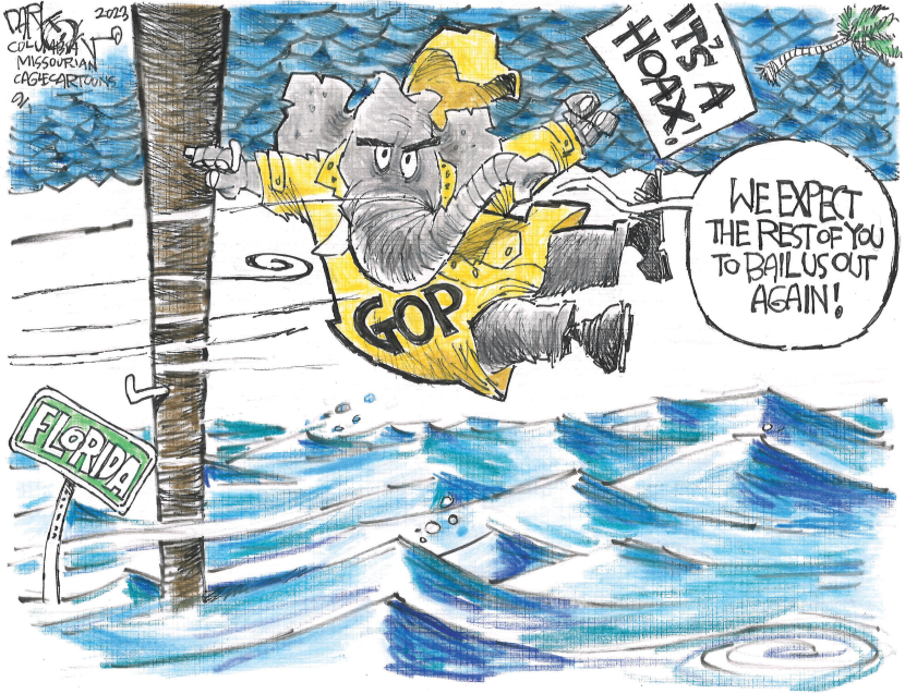
(3,547 posts)would become more violent and the Republicans said that was Democratic BS. Well the BS has come home to the South with the violence scientist told them about years ago. But you chose to believe the Republicans (party of wealthy business) and ignored it and now you are paying the price of Corporate America. And I bet there is more violent weather to come. Maybe that will wake you up. And then start questioning Republican voices....
LiberalFighter
(53,544 posts)BlueWavePsych
(3,435 posts)
FakeNoose
(42,282 posts)
Maybe Jacksonville might get some flooding too.
Stay safe everyone!
BumRushDaShow
(171,910 posts)plus the track shifted further south with the latest update so the flash flood guidance probably will too.
Current rainfall forecast -

Cheezoholic
(3,871 posts)The models are starting to let this thing travers the southern GOM longer then "swinging it" to the NE as it begins to approach the West coast. Problem there is as I've alluded to in a previous post this decreases the angle of approach to FL which by geography is bad, very bad. Its going to give more time to drive water similar to Helene into the West coast instead of them not having an onshore flow for much less time with a perpendicular hit. Plus, somewhat similar to Helene, it's going to be interacting with a frontal zone (although at a different angle) that will probably drastically increase the size of the storm at least doubling it. How soon this happens and how far East it can get before it turns are gonna be a BIG DEAL! Depending on the angle of approach a one mile change at sea could mean a 20 mile difference in landfall points. These are the ones that really suck in FL (not like any are good). Anything on the West coast is exponentially worse than storms that hit the East coast because the flooding risk is 10X's greater due to the shallow nature of the GOM coastline. Plus FL crossers really suck because there's nowhere to run unless you head start driving to Alabama tonight.
I may be heading down to Flagler Beach tomorrow to help my mother if need be. My brother can't as he's in the bullseye right now, 30 feet above sea level in Northern Pinellas County, so a wind event for him and he is in a modern 150mph proof home with a re-enforced interior room (I helped him build it 30 years ago, he's safe)![]() and my father will be sheltering there. Too far for my mother to travel right now, plus she's in a modern stilt home 10ft above the ground which is 15ft above sea level with her best friend of 60 years. Really not looking forward to staying there with those 2 crazy old ladies (they are full blown nuts, trust me lol). Sux but its FL today and we gotta deal with it.
and my father will be sheltering there. Too far for my mother to travel right now, plus she's in a modern stilt home 10ft above the ground which is 15ft above sea level with her best friend of 60 years. Really not looking forward to staying there with those 2 crazy old ladies (they are full blown nuts, trust me lol). Sux but its FL today and we gotta deal with it.
BumRushDaShow
(171,910 posts)and I watched the sluggish Milton actually creep to the NE @ 3 mph, then drop back down to the S @~5mpgh, then start moving to the E and start to pick up a little speed to its current.
I.e., it was sortof sitting and spinning in place and has lots of clouds and convection obscuring the eye. It reminds me of Helene in that instance - very juicy. If it creeps like this across the GOM, it definitely will get bigger.
With the angle of approach, Tampa would have that initial blow-out tide but once it is on land, look out.
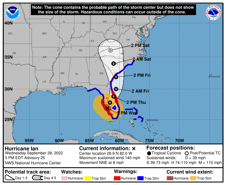
A concern is that with the southward shift, where the right-front quadrant will end up and I know that people down below Tampa in that Ft. Myers/Cape Coral area, had to deal with Ian a couple years ago, although the approach for Ian was from the south versus from the west.

FakeNoose
(42,282 posts)But it's better to be warned in time. Stay safe everyone!
![]()
![]()
Cheezoholic
(3,871 posts)I posted about this yesterday
https://www.democraticunderground.com/?com=view_post&forum=1014&pid=3317909
Storms that form around the Bay of Campeche are notoriously slow to exit into the GOM (and models can struggle with that). I'm a bit confused as to why they didn't start slinging aircraft into this thing yesterday for model data. The models need as much real time data as they can get because once this thing starts to move its going to speed up. Not that it matters much in the big picture because if anybody on the West Coast ain't hunkerin' or runnin' inland if they're vulnerable to any type of surge at all they deserve what they get IMO.
BumRushDaShow
(171,910 posts)probably not stacked and there appeared to be all kinds of convection blowing up around it. It was basically cut off from any steering flow.
Now that it has moved somewhat out of that spot, it should get moving but will have to check the next update to see if it goes any faster than 8 mph. I think in comparison, Beryl was a whippersnapper that barreled through the Caribbean at 22 - 23 mph.
Cheezoholic
(3,871 posts)There's going to be a pretty strong pre-fontal non-tropical low form tomorrow or Tuesday just off the Space Coast. It's going to be driving fairly strong Easterly winds and begin some tide piling into the St. Johns river and along the NE FL coast. Then Milton is going to start re-enforcing that onshore flow with ever increasing intensity as it approaches the West coast then crosses, probably around the Cape at this time. Regardless with todays discovery of the center further south by Hurricane hunter aircraft the possibility of a landfall south of Tampa is increasing (which is great for them) but it means a much greater potential for tidal piling and inland flooding along the St. Johns (that area is more prone to west to east crossers than a hit from the East believe it or not) and coastal flooding from the Cape to even Savanah. My mother lives tight on the beach in Palm Coast and I've already made plans on driving down there tomorrow sometime should flooding there really begin to concern me.
Florida crossers are the worst because you can't hide. The best you can do is stay away from the water and hunker down somewhere structurally strong that can withstand winds upwards of a 125-150 mph (remember they are really strong in tropical tornadoes).
Sucks I know but climate change is not going away anytime soon so this shits gonna be par for the course in FL for another century at least. That's why insurance companies are bailing and I wish people (including my mother and my uncle and my brother and my father and my cousins and...well) would move inland or just leave. Retire in your home in Michigan. Stay away dammit!
tclambert
(11,194 posts)Milton doesn't even have to break things to make new debris for projectiles.
This is gonna be bad.