Welcome to DU!
The truly grassroots left-of-center political community where regular people, not algorithms, drive the discussions and set the standards.
Join the community:
Create a free account
Support DU (and get rid of ads!):
Become a Star Member
Latest Breaking News
Editorials & Other Articles
General Discussion
The DU Lounge
All Forums
Issue Forums
Culture Forums
Alliance Forums
Region Forums
Support Forums
Help & Search
Bicycling
Related: About this forumThere are finishing the "Path of the Flood" Trail this year (2013). Johnstown Flood of 1889
http://tribune-democrat.com/latestnews/x2055660503/Funding-acquired-to-complete-flood-trailThis will permit people to bike from South Fork PA (Which the dam the broke in 1889 first hit) through the Little Conemaugh River Gorge, that the Water was Channeled till it hit Johnstown.
Technically the Dam was in St Michael on the South Fork of the Little Conemaugh River. It broke in 1889, hit Summerville Pa and then South Fork PA, Mineral Point PA, Franklin Pa, Conemaugh Borough PA then Johnstown proper.
Once this path is finished this year, you be able to bike from Summerhill PA along side roads from US 219, along the Little Conemaugh River that goes through Ehredfeld PA then the opposite bank of the Conemaugh River from South Fork Borough itself (The South Fork dam that broke in 1889 was up the South Fork of the Little Conemaugh River, Summerhill and Ehrenfeld were on the North Fork, thus missed the flood of 1889). South Fork PA, where the two forks met was hit hard by the flood.
South Fork from the Southern Cambria Right of Way path:
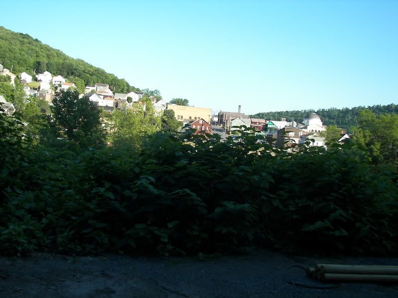
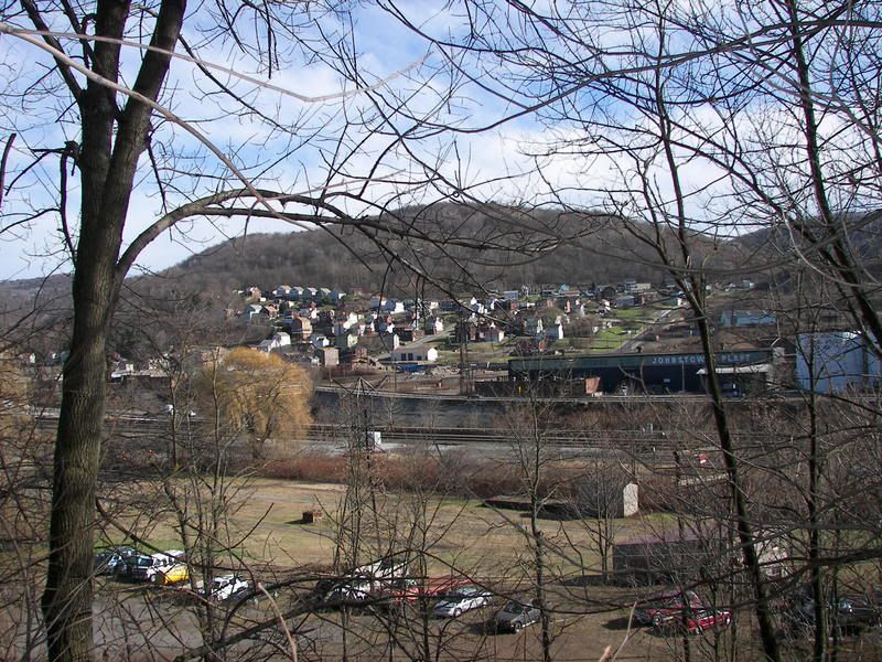
More on the South Fork Dam:
http://en.wikipedia.org/wiki/South_Fork_Dam
Then you can bike along the old Right of Way of the Southern Cambria Railway. The Southern Cambria Railway was an old Interurban Streetcar line built between 1908 and 1912 (nicknamed, the "Dread of the Timid Traveler"
Photos of the Path under Construction:
http://www.democraticunderground.com/discuss/duboard.php?az=view_all&address=324x1488
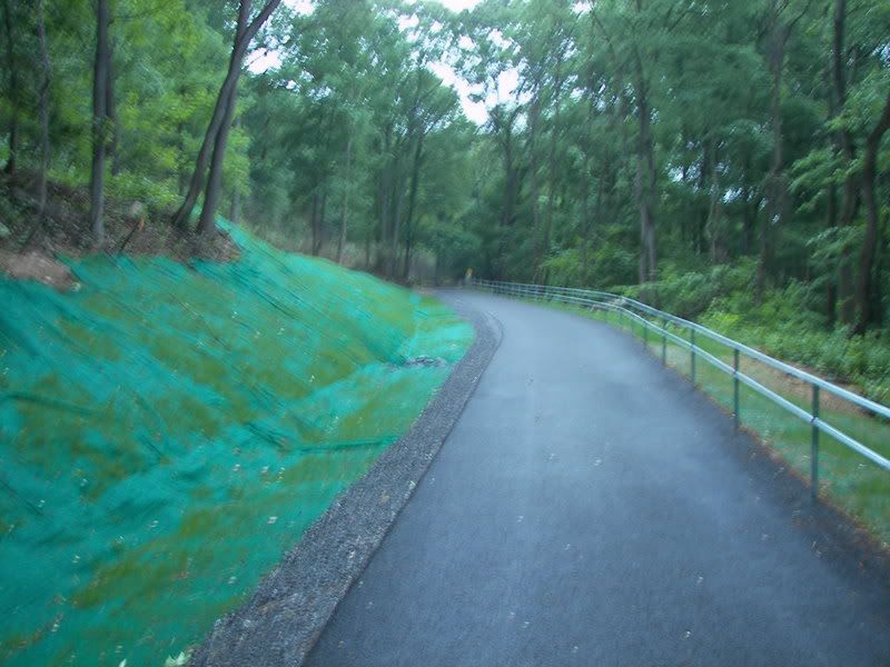
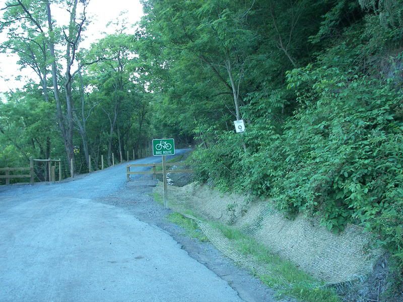
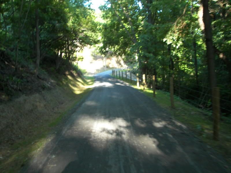
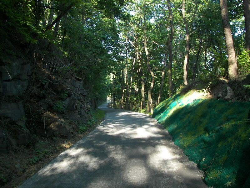
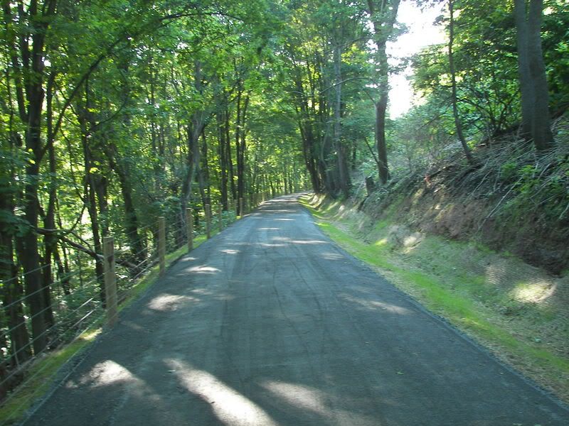
At Mineral Point, PA, you go over the Little Conemaugh River and then under the Main Line of the Old Pennsylvania Railroad (Now Norfolk and Southern) to the trail along the Right of way built for the old Portage Railway (built 1836). You take the trail to the Staple Bend Tunnel (the first tunnel built in the USA, built in 1836, not used from 1854 to 2001 when the present trail was opened).
The road under the Main line:
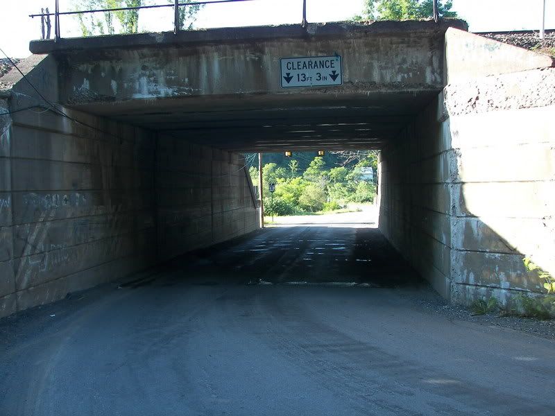
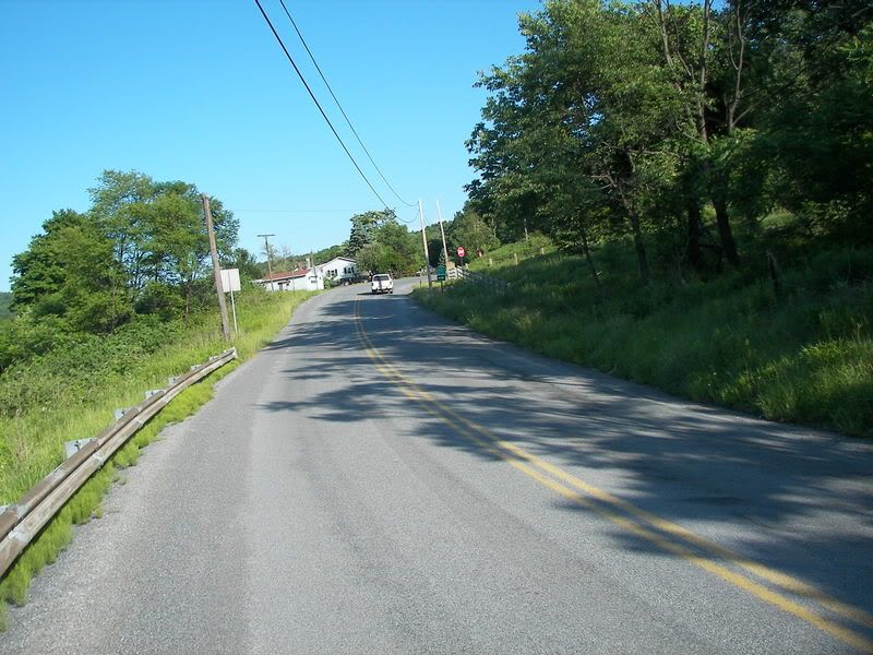
The Road up to the start of the Path to the Staple Bend Tunnel:
More on the Staple Bend Tunnel:
http://www.nps.gov/alpo/historyculture/staplebend.htm
Here is the Eastern Entrance into the Staple Bend Tunnel:
http://t0.gstatic.com/images?q=tbn:ANd9GcT016GAh1542fsOtVRvYivBgHFP2Jupg9GvpbV4RImwjk29Ghp7DA
Here is the fancier Western Entrance into the Tunnel:
https://encrypted-tbn2.gstatic.com/images?q=tbn:ANd9GcRw9vPZ4b6I6WJehwYVNbXkx7Pvjj5afalZ5DubaPeJGSTvFS_qWA
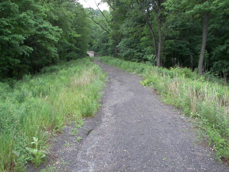
Once through the Tunnel, you go down Plane #1 (For it was the first of ten incline planes on the Old Portage Railway, the Inclines were used to haul cars up the mountains, in the 1830s steam engines were to small to carry trains over the mountains, thus the use of Inclines between flat level of the railroad). At the bottom of Incline #1, you follow the path of the Water line from Saltlick Reservoir at Mineral Point (Which goes through the Staple Bend Tunnel) as it goes to Franklin Borough where it use to help feed the Steel Mills of Franklin and Johnstown.
Incline #1:
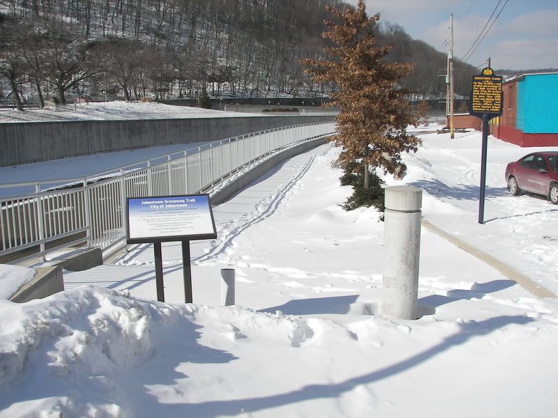
At Franklin Borough, the trail goes on PA 271 to Downtown Johnstown. In Downtown Johnstown the trail stays on the City streets till where the Little Conemaugh meets the Stoneycreek River to form the Conemaugh River. A trail exists along the Conemaugh River till you cross a bicycle and pedestrian only bridge across the Conemaugh and re-enter city streets. You then stay on PA 56 as you go through the West End of Johnstown the the Conemaugh River Gap. At the end of the Gap, at Seward Pa, you turn left on to PA 711 till you get to New Florence. At New Florence you turn left till you turn right onto 15th Street. 15th Street ends on the old Railway right of way, now used as a road till you get to Lock Port Pa. At that point the trail, as of today, ends.
US 219 at Summerhill PA to Bike Path in South Fork: 1.7 miles
South Fork to Mineral Point via the bike Path on the Southern Cambria: 2.7 miles
Over the Little Conemaugh and under the Main Line till Portage Railway: .3 miles
From Park Entrance to Staple Bend Tunnel: 2.0 miles
Staple Bend Tunnel: 901 Feet
Staple bend to Franklin borough on Bike Trail: 2.0 miles
Franklin Borough to Johnstown: 3.0 miles
Downtown Johnstown to end of Bicycle Bridge: .5 miles on bike path
Board Street in Johnstown: 1.2 miles
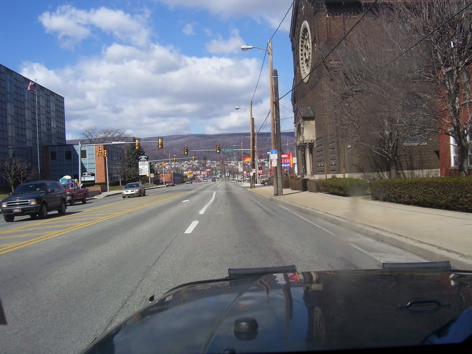
Laural Street in Johnstown: .5 mile
Strayer Street in Johnstown: .5 miles
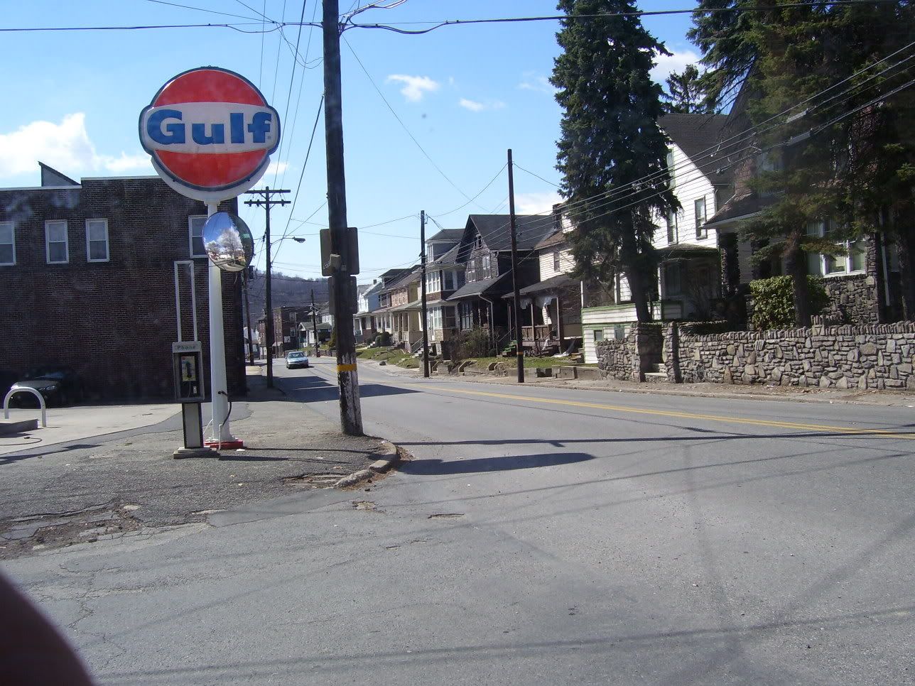
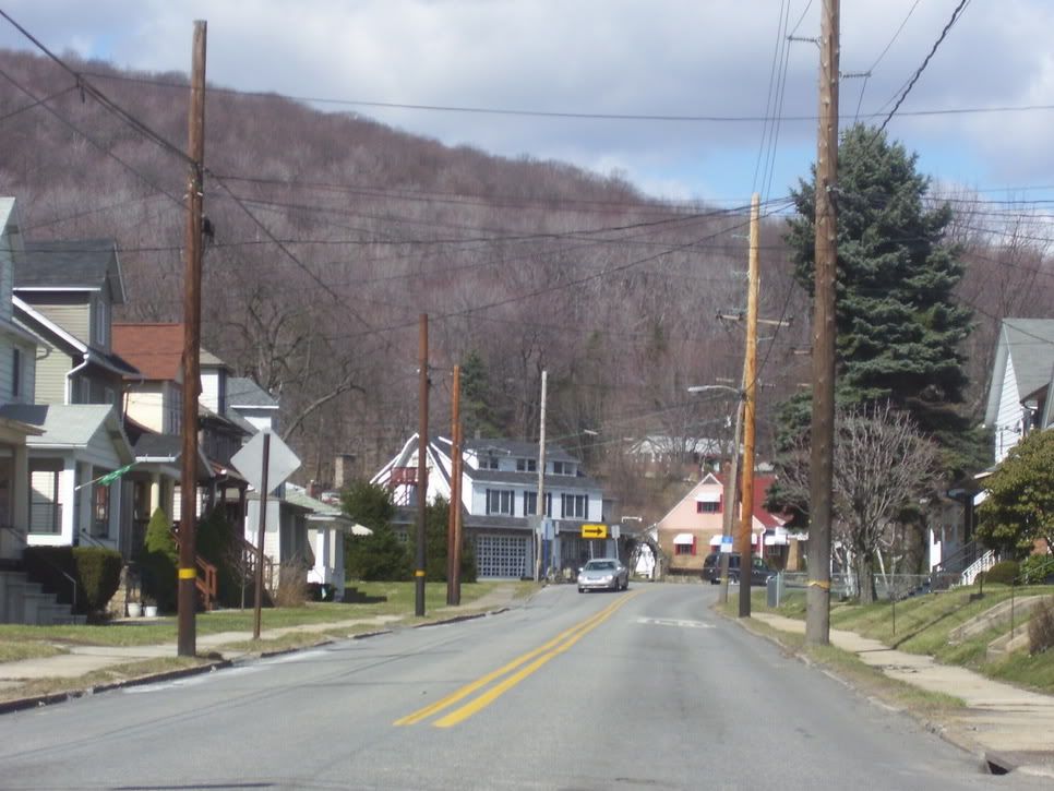
PA 56 through Conemaugh River Gorge: 6.0 miles
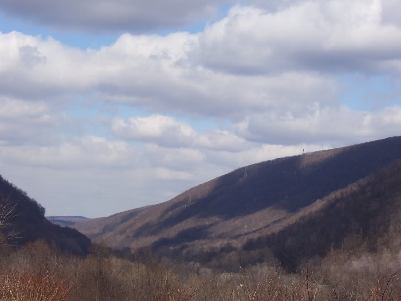
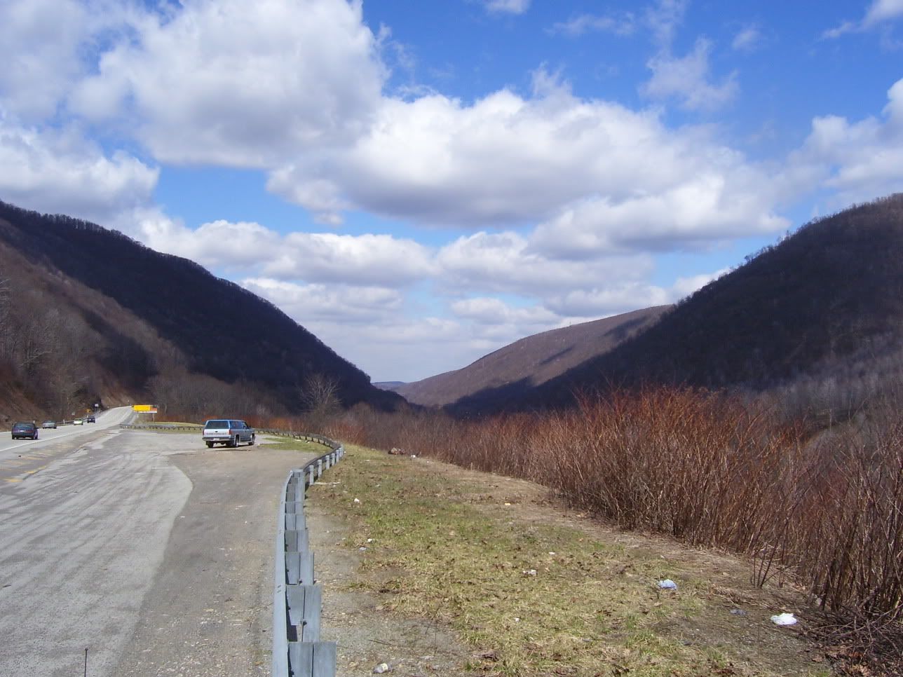
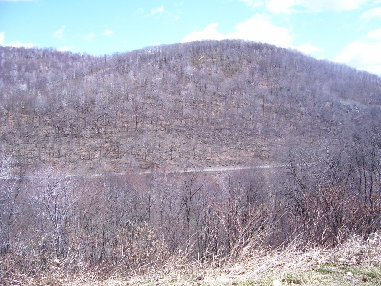
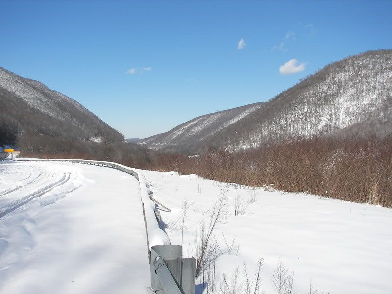
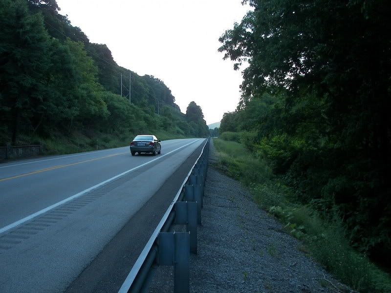
PA 711 between Steward and New Florence: 4.0 miles
From PA 711 in New Florence to the end of 15th Street: .5 miles
From New Florence to Lockport 4.0 miles
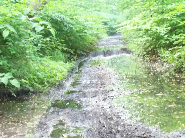
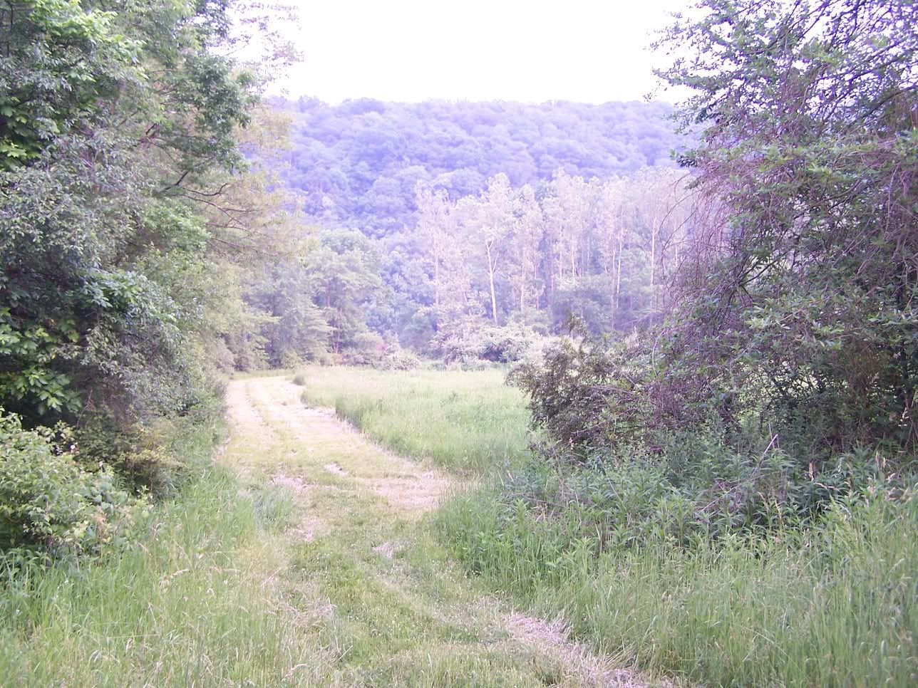
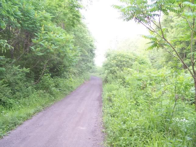
Thus the above trail is just under 30 miles long and is doable
Vintage Photos of Johnstown PA:
http://johnstownhistory.blogspot.com/2012_07_01_archive.html
InfoView thread info, including edit history
TrashPut this thread in your Trash Can (My DU » Trash Can)
BookmarkAdd this thread to your Bookmarks (My DU » Bookmarks)
0 replies, 4400 views
ShareGet links to this post and/or share on social media
AlertAlert this post for a rule violation
PowersThere are no powers you can use on this post
EditCannot edit other people's posts
ReplyReply to this post
EditCannot edit other people's posts
Rec (0)
ReplyReply to this post