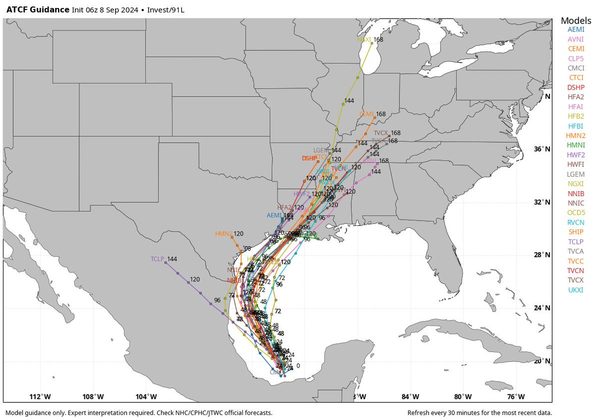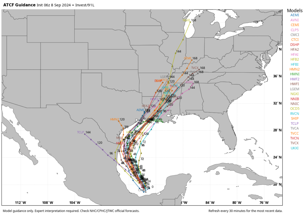
All of our available data continues to point toward the formation of a tropical storm in the western Gulf of Mexico within the next 48 hours or so. Our confidence is pretty high that by around the Tuesday afternoon to Tuesday night period this system will be positioned 50 to 150 miles offshore the Texas coast, about due east of the mouth of the Rio Grand River.
The question for Houston is, what happens after that?
Over the last several runs, we’ve seen better model agreement in those outcomes. So while I’m not ready to say this is a high-confidence forecast, I do feel as though it is fairly likely to occur. By Wednesday the storm will probably be moving more or less parallel to the Texas coast, to the north-northeast. Then by Wednesday evening or Thursday, the system—most likely a tropical storm, but it’s impossible to rule out strengthening into a hurricane—would make landfall somewhere in southwestern Louisiana.
This forecast can change, and indeed anyone who has followed tropical weather knows to expect the unexpected. Additionally, this area of low pressure that we’re talking about remains a fairy disorganized mass of showers and thunderstorms in the southern Gulf of Mexico as of Sunday morning. The accuracy of the models should increase as a center of circulation forms today and Monday. However, at this time all of our guidance is pointing to a scenario in which this tropical system gets fairly close to the Texas coast, but then remains offshore as it moves to the northeast.


