Scientists Just Used Really Old Satellites to Find 3,000-Year-Old Underground Aqueducts [View all]
There’s a bit of AI thrown into the mix, too.
By Tim Newcomb
Published: Sep 20, 2024 8:00 AM EDT
Merrill Images//Getty Images
Researchers in Spain looking to develop a fresh approach to finding long-lost aqueducts have turned to U.S. Cold War-era satellite imagery. By mining the black-and-white images from the HEXAGON satellite program, the team developed machine learning models that have proven adept at picking out ancient aqueducts in varied terrain.
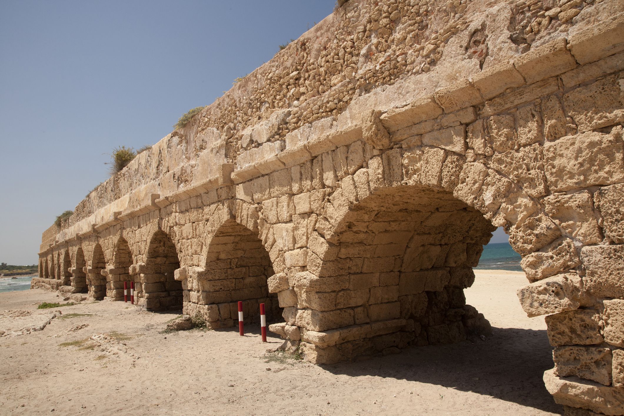
The use of underground aqueducts is common throughout the world, most significantly in the Middle East, but also across the globe from Chile to China.
When you’re on the hunt for 3,000-year-old underground aqueducts, the best new tool to find them has actually been around for quite some time: a U.S. Cold War-era satellite.
The unlikely repurposing of the satellites is thanks to a research team in Spain, as the group has been using the high-resolution black-and-white imagery of the HEXAGON series of satellites, also known as Big Bird, from the United States to hone in on ancient underground aqueducts, known throughout the Middle East as qanats. For further aid, the group created a machine learning model for improved accuracy.
A line of regularly spaced ventilation shafts make these qanat systems visible from above, according to a paper published published in the Journal of Archaeological Science, making satellite imagery valuable in detecting their locations. By feeding a wealth of these images, coupled with artificial intelligence-generated images for even greater variety, into a machine learning model, the team created a global model for detecting qanats, no matter the environmental type, according to the paper.
“Our approach allows us to create a model that can be used in different areas,” they wrote, adding that “our model can be used for mapping large areas and detailed case studies.”
More:
https://www.removepaywall.com/search?url=https://www.popularmechanics.com/science/a62245428/cold-war-satellites-underground-aqueducts/

 = new reply since forum marked as read